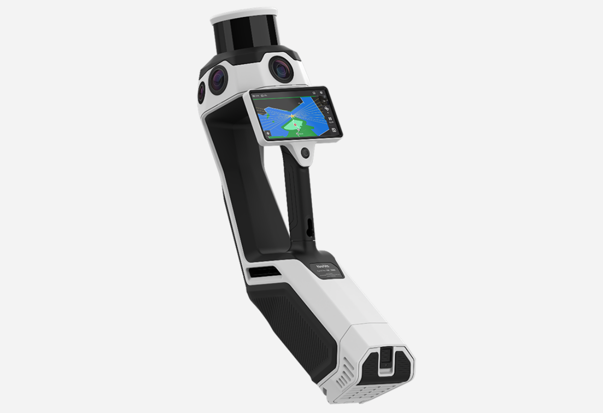
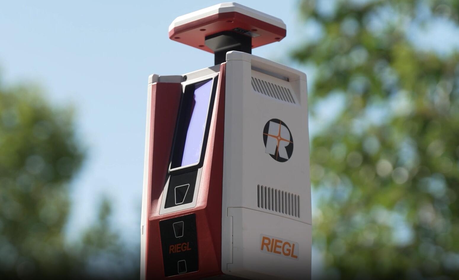
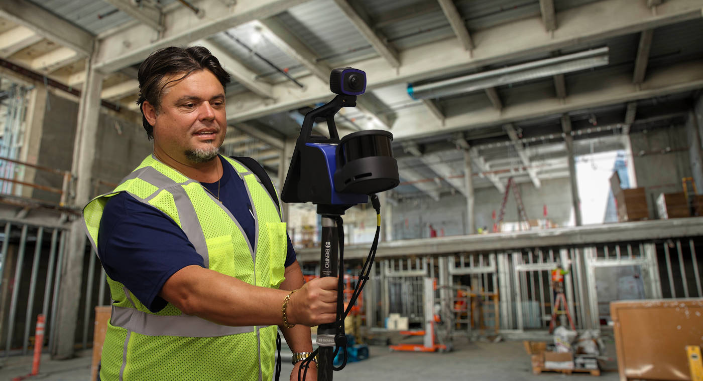
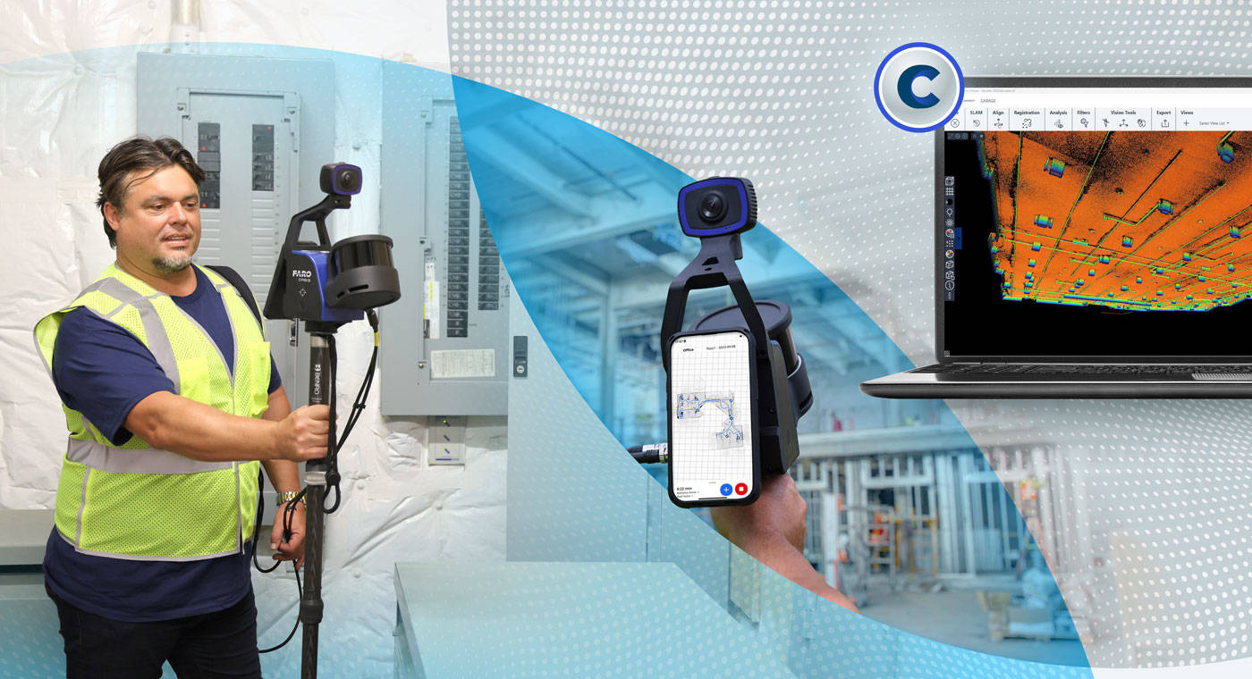
Fast Mobile Scans and Quality Flash Scans in One Device
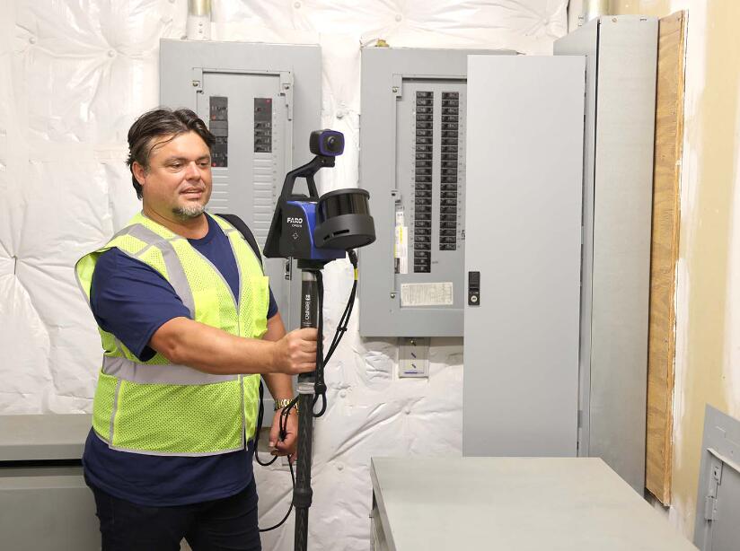
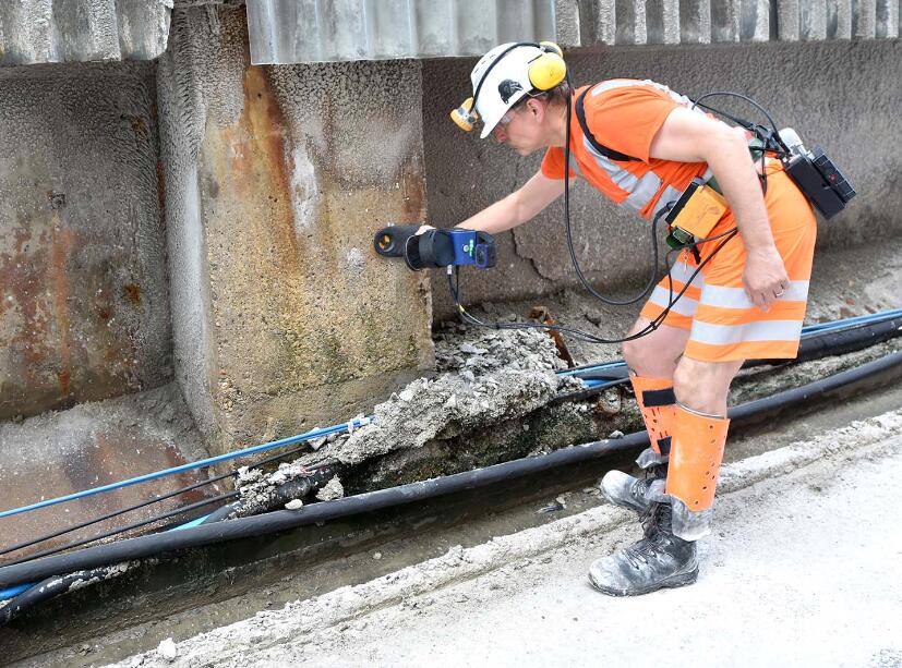
Orbis solves the trade-off between speed and accuracy in an all-encompassing mobile scanning solution. Featuring the latest scanning technology and integrated with FARO Flash, Orbis provides high-class precision and scan density. Capture dynamic scans by walking through your jobsite with Orbis or attach the scanner to the included monopod accessory for employing flash scans of key areas, like complex pipework, in just 15 seconds.
10X Faster Than Other Surveying Methods
10x faster than traditional surveying methods, mobile scanning enables operators to capture entire sites at the speed of the operator. The increased speed of capture saves time and money, prevents jobsite disruption and allows for real-time decision making.
Repeatable, Repeatable, Repeatable
With faster data capture, mapping with Orbis streamlines the process of repeat scanning for tracking changes over time, leading to a significant reduction in downtime. The integration of optional cloud processing and 4D data comparison within FARO Sphere® XG makes progress tracking and project management seamlessly efficient.
Scanning Made Simple
The compact design of Orbis, combined with real time data feedback and advanced software automations, allows for effortless capture of high-quality data. It simplifies complex mapping and surveying tasks, allowing for efficient data collection in various industries like mining, construction or urban planning.
Delivering Best-in-class SLAM
Dynamic innovation and direct customer input from real-world applications has culminated in the cutting-edge SLAM (Simultaneous Localization and Mapping) algorithm that drives Orbis today. Powered by GeoSLAM’s proprietary SLAM, Orbis provides best-in-class reliability, giving you the confidence to capture the most challenging jobsites.
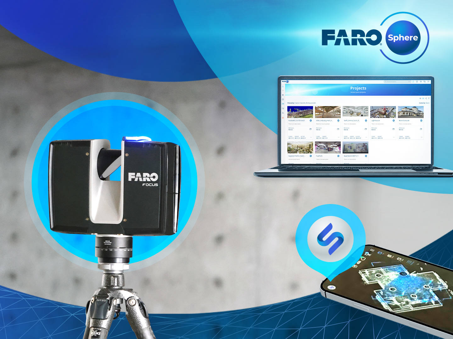
Versatile Processing Options to Suit All Needs
FARO offers a complete portfolio of cloud and desktop software to process your data. Provide stakeholders with point cloud information with optional cloud-based processing and storage in FARO Sphere XG. Alternatively, locally process your point cloud data in FARO Connect. For unparalleled data quality and global accuracy,register your Flash scans using FARO SCENE and its interactive registration capabilities,mirroring the control of a terrestrial laser scanner.
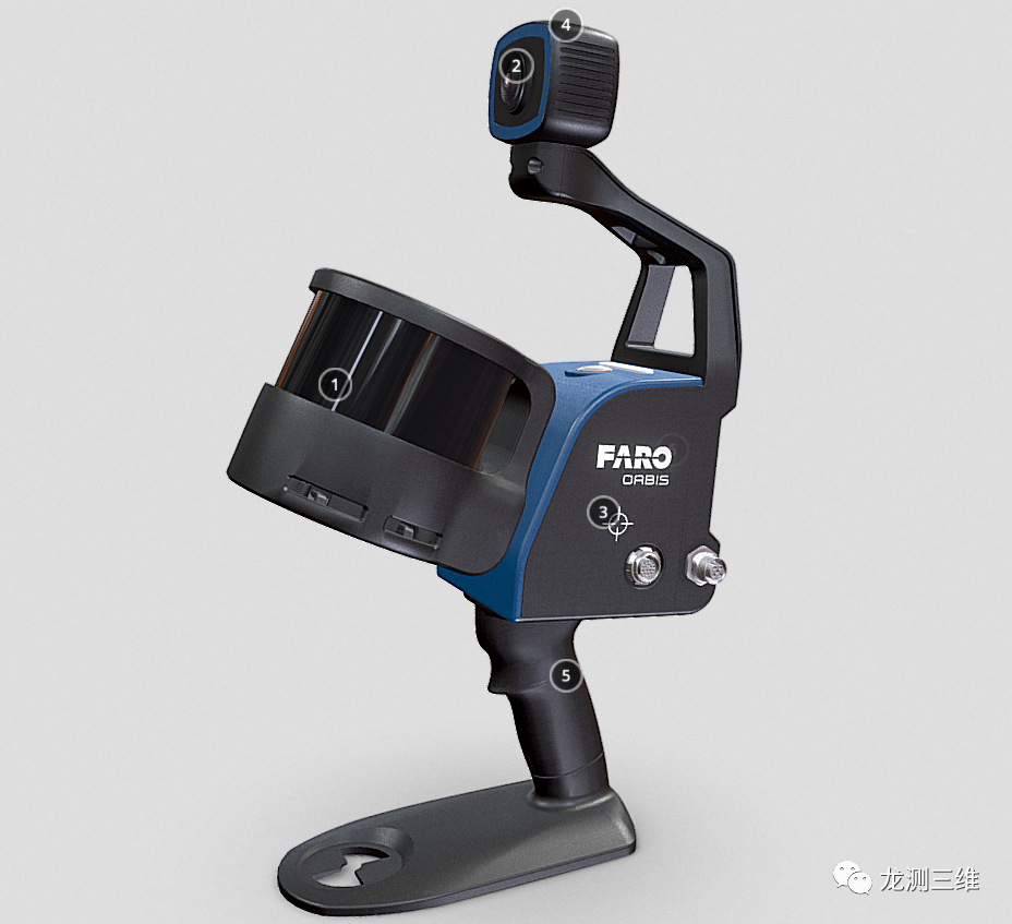
Function
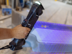
Lightweight and easy to use
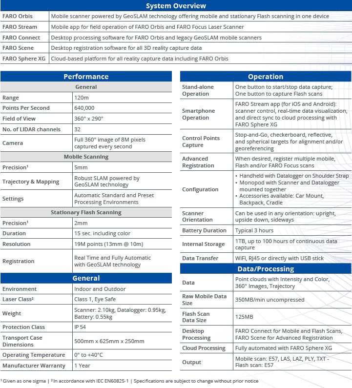
The weight of Orbits is only 3.6 kilograms (including data recorders and batteries), making it easy to set up and very suitable for quickly scanning large areas.
Higher accuracy
The accuracy of mobile scanning is 5 millimeters, while the accuracy of fixed Flash scanning is 2 millimeters, making Orbis the ultimate solution for high-precision mobile scanning.
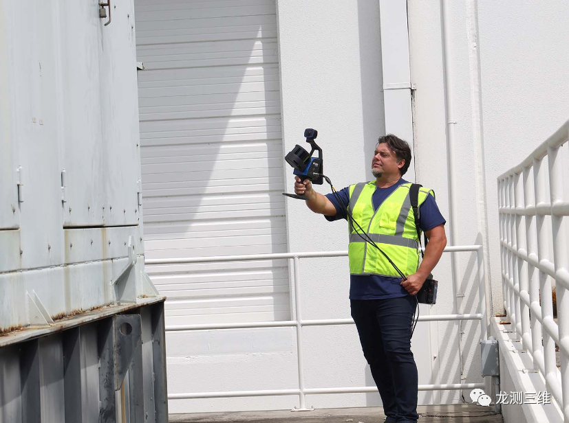
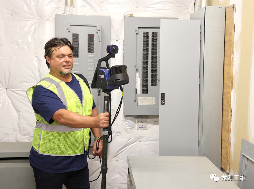
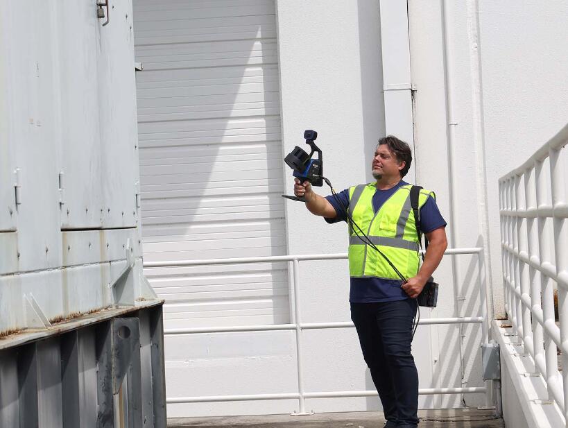
Very suitable for internal and external surveying and mapping
Orbis has a scanning range of up to 120 meters, making it an ideal solution for indoor and outdoor scanning, and can seamlessly switch between the two.
A win-win approach
Orbis in FARO Connect software or optional FARO Sphere ® The XG digital reality platform (a flexible solution for processing, analyzing, and sharing data) provides local processing.
360 ° photos and color data
The 8 megapixel camera integrated on Orbits can capture color point clouds and take additional 360 ° panoramic photos.
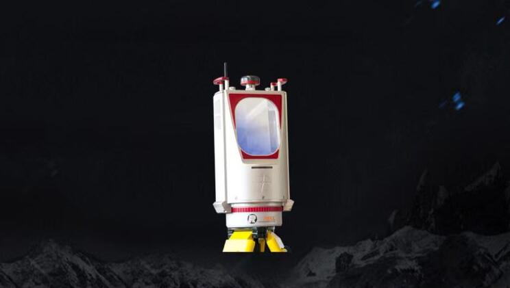
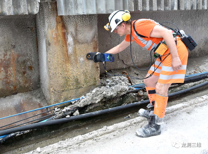
Designed specifically for the harshest environments
Orbis has taken into account the harshest environments in its design and is able to easily survey locations such as underground mines, dense forests, or construction sites.
Integrated surveying and mapping solution
Orbits can be placed on a tripod for fixed Flash scanning, a car mount for capturing large area data, a backpack for rugged terrain, and a base for descending into mines, making it a truly integrated solution.
Technical specifications
Industry applications
AEC
Tools for repeatable data capture and collaboration
To ensure that your construction project proceeds as planned, it is necessary to review the changes that have occurred over time. Orbis provides fast and accurate data capture methods that can analyze progress on a monthly, weekly, or even daily basis without interfering with on-site activities.
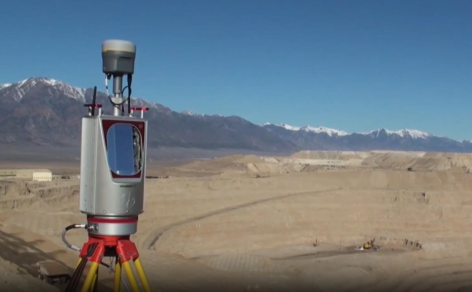
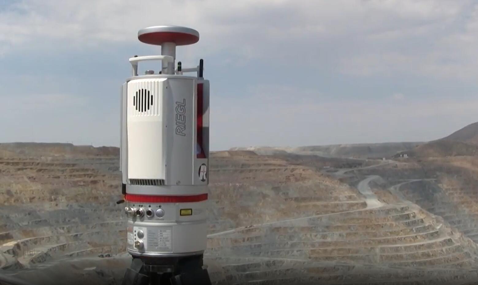
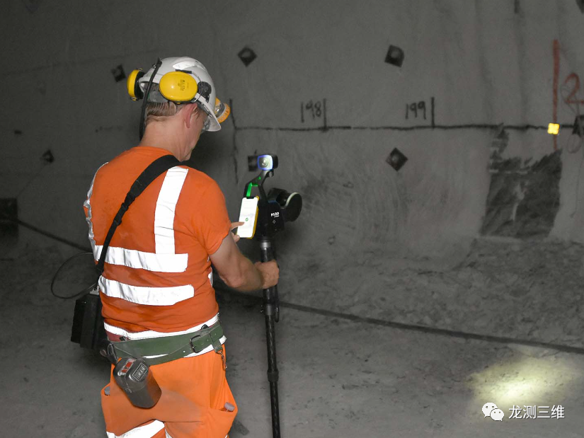
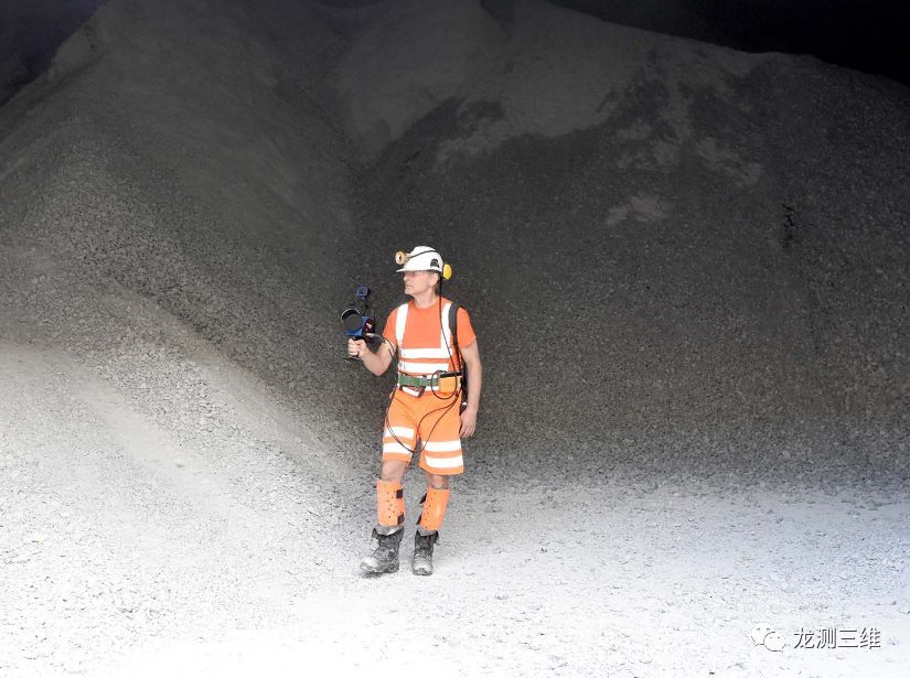
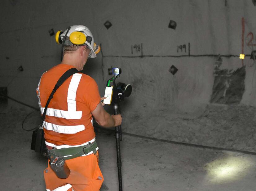
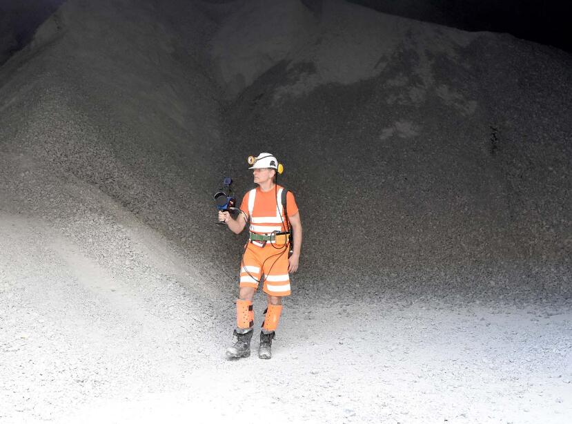
Mining
Rapid on-site information for modern mines
Orbits, with its excellent data capture rate and range capabilities, has become an ideal tool for capturing both above ground and underground data. You can use Orbis for reserve calculation data capture, production progress mapping, convergence analysis, or vertical axis inspection. By using Orbis, you can effectively reduce the risk to human life by reducing personnel exposure to hazardous environments, and optimize mining operations for better investment returns.
Geospatial
Faster ways to capture data
Orbis provides a multifunctional scanning workflow that combines fast mobile scanning data collection with detailed static scanning using Flash Technology. Orbits performs well in various applications, including geospatial workflows, making it an ideal choice for tasks that require flexibility and accuracy. Whether you need fast data capture in dynamic scanning or meticulous Flash scanning, Orbis can provide excellent results to meet various job requirements.
 ∷
∷ 


 Sweep WeChat yards pay attention to us